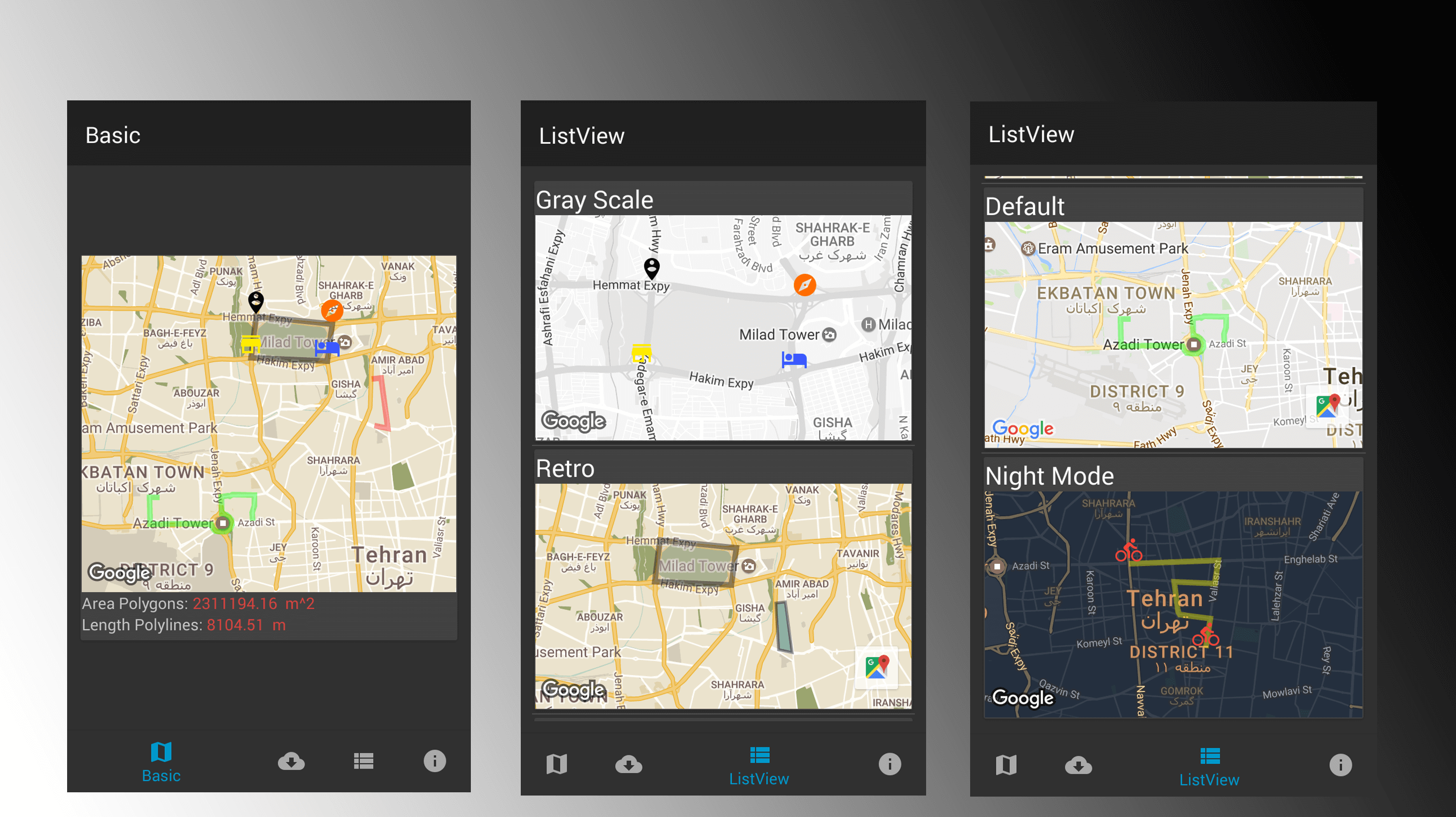
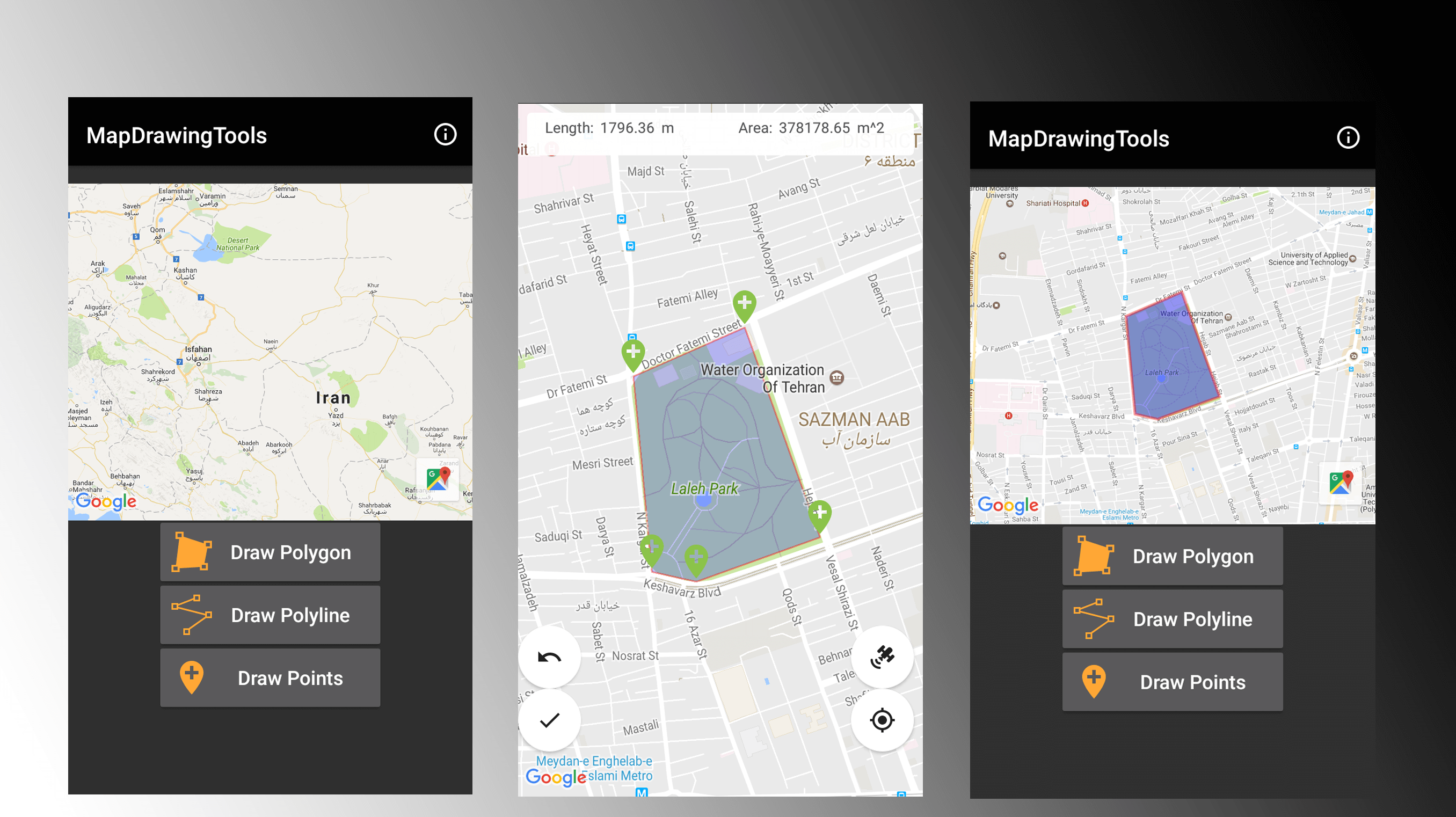
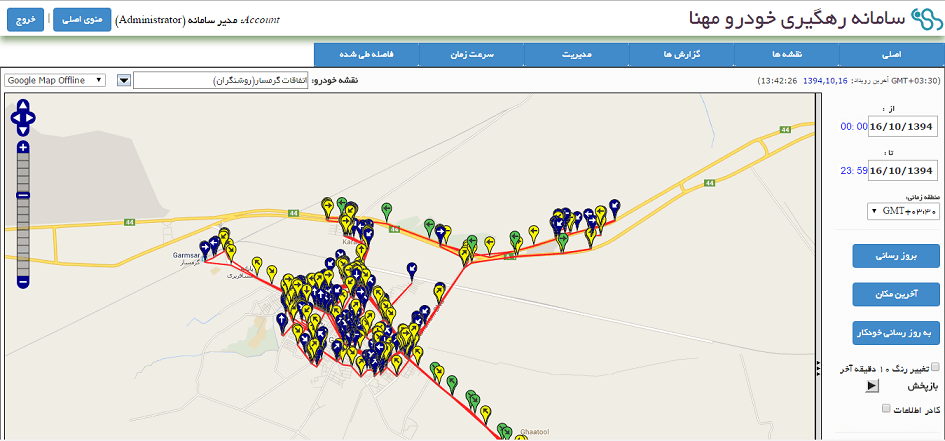
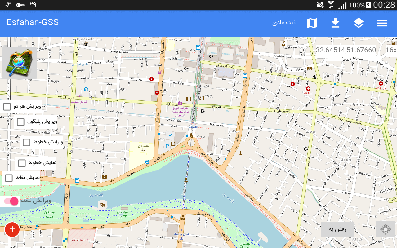
I am Behrouz Khezry, Flutter and Android developer from Iran. My favorite applications to develop are those that have maps. I've worked with OSM, MapBox, and Google Maps for mobile applications.

Skills

Professional Skills

Material Design

Flutter

Android

Kotlin

Java

.Net Core

Linux

DBMS

MySQL

SQLITE

PotgreSql

Services

Web Services

SSH

Git

Projects

TOBANK

Flutter

Tourism Bank smart application that provides all payment and banking services in one secure app. You can do all the services for free in a safe, fast and easy way.

⛈ Weather app with OpenWeatherMap API

Android, OpenWeatherMap

Showing weather of locations with API of OpenWeatherMap

Service for handle skill swap between users

Android, Laravel

The service create for provide skill swap between users. source of this service is available in Android, Laravel and web site in the Github

Android app for set tag of Persian words type.

Android, Application

This android application handle text-mining.ir services that provide methods for setting tag of Persian words type in the sentence

The simple utility for Google maps in Android

Android, Library

ExtraMapUtils is an Android library to make working with map markers, polygon and polyline drawing on Google maps, more convenient.

Map drawing tools

Android, Library

MapDrawingTools is an android library to Drawing manually polygon, polyline and points in the Google Map and return coordinates from library to your App. this library useful for application that pick multiple point or drawing border of land to get data from users

Extra web view library

Android, Library

the flexible and easy to use WebView library with beautiful themes

Persian date range picker library

Android, Library

Select range of dates and times in the Persian Calender

GeoJSON plugin for Mapbox SDK in Android

Android, Mapbox, Plugin

Retrieve and draw GeoJSON data for Android applications using GeoJSON plugin of Mapbox SDM. It can fetch the data via a URL, a file stored in the app, or a file stored somewhere on the device.

Automatic Vehicle Location Application

J2EE - MySQL - jQuery - GPS Navigation

(AVL or ~locating; telelocating in EU) is a means for automatically determining and transmitting the geographic location of a vehicle. This data, from one or more vehicles, may then be collected by a vehicle tracking system for a picture of vehicle travel.

Data Collection Application

Android, Spatialite

Programming and design Android application to generate spatial data collection. using this application to export shp file for ESRI arcgis map with special data feature.

Book: Programming data mining algorithms with Weka library

Data Mining, Weka, Java

A practical guide with examples and applications of programming Weka in Java And Start with the basics and dive deeper into the more advanced aspects of Weka.

Work Experience

Flutter developer
@Ipaam.ir

January 2020

Programming and design Flutter application in Ipaam company

Android Development
@OHM

Octobr 2014

programming and design android application to generate spatial data collection. using this application to export shp file for ESRI arcgis map with special data feature.

Android Programmer
@Iran Naghshineh

September 2014

programming and design android application to generate spatial data collection. generate report for spacial using.

J2EE Application Developer
@Mahna Group

April 2014

programming and design AVL(automatic vehicle location) system for tracking vehicle with GPS navigation system.

Contact